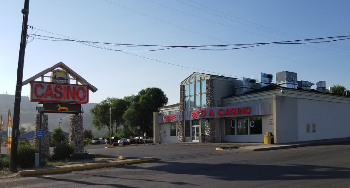
The folks at the motel said that the best place for breakfast was the Casino a few hundred feet up the street. By "best" I assume they must have meant the least expensive. I stopped by the Casino a few minutes after 7 and found the front door open but the cafe area closed. Just as well as it was evident that smoking is allowed inside so was not all that appealing a place for breakfast.
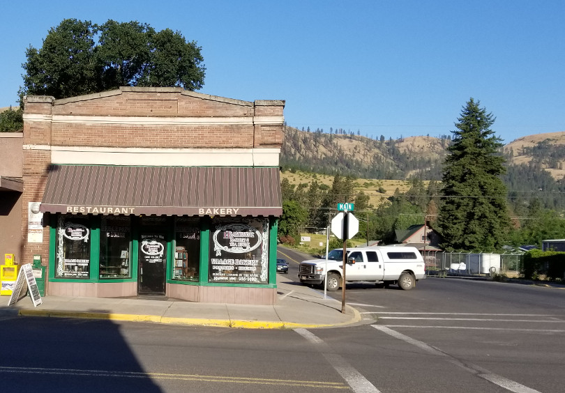
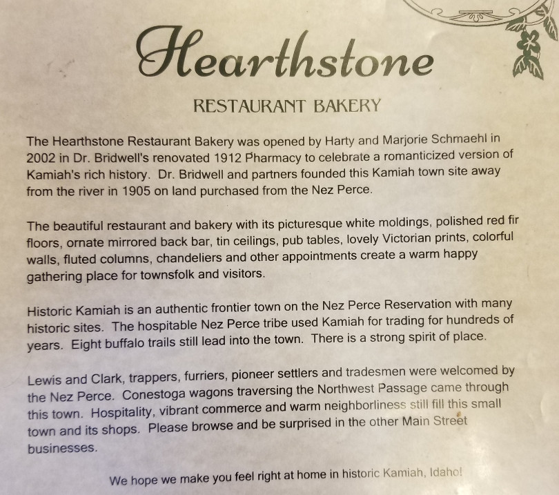
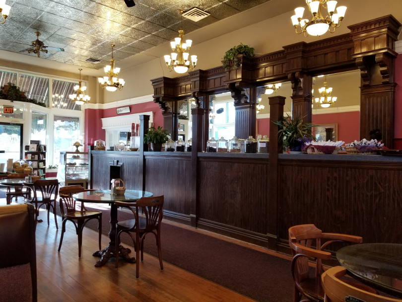
I walked into town and found the Hearthstone Restaurant Bakery and had a great breakfast in an attractive setting.
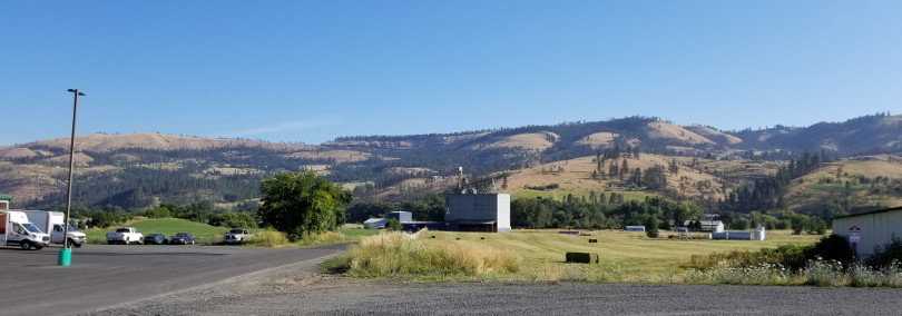
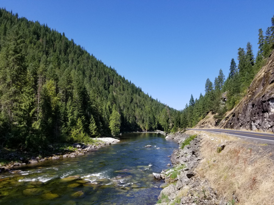
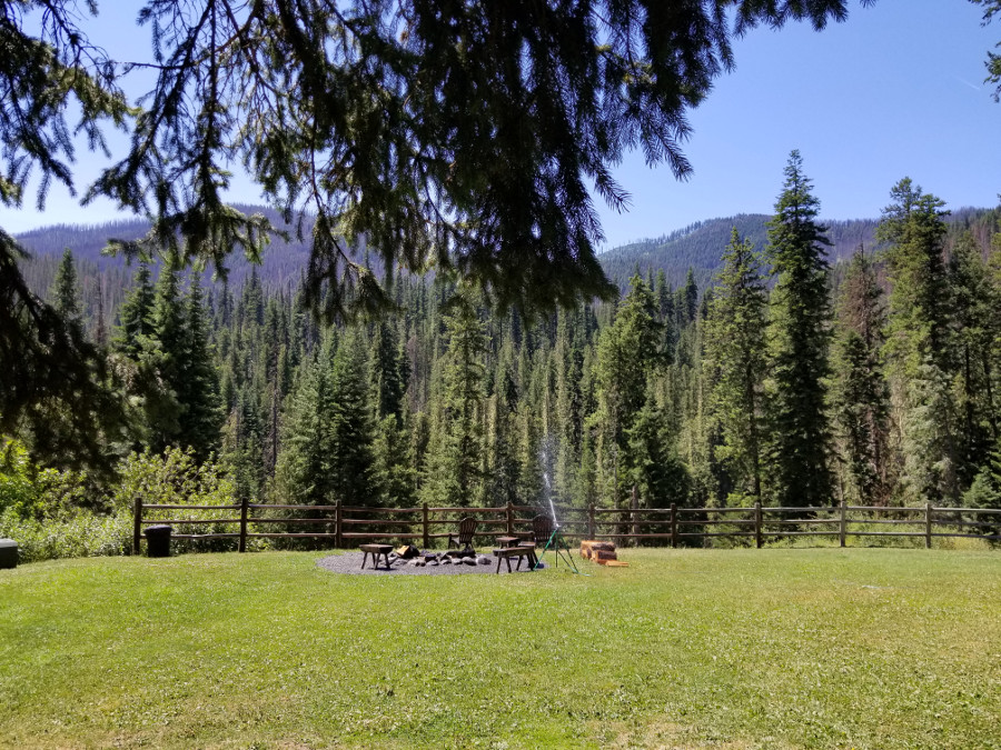
The hills behind Kamaia.
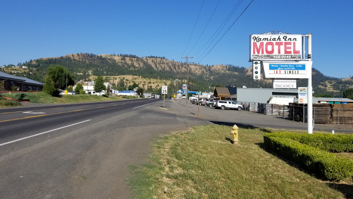
And the motel. Clean and inexpensive, all a biker needs.
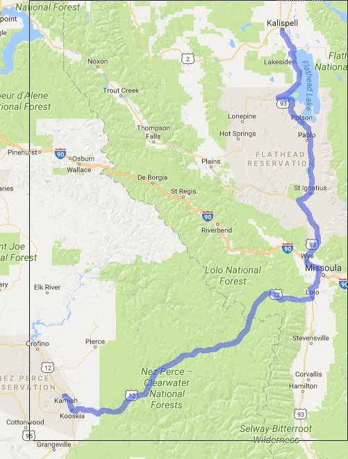
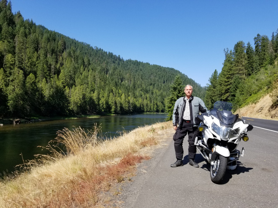
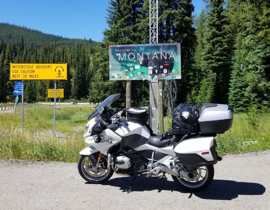
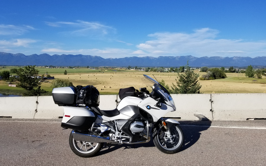
I loaded up the bike and got on my way. I had an 8 mile back track south and then started riding along the Clearwater River toward Montana. I stopped to get a picture with my bike and spent far too long fussing with the bluetooth remote. As I found with my earlier experience, I could easily gather a burst of 50 or more photos but getting just one was elusive. I settled on the self timer.
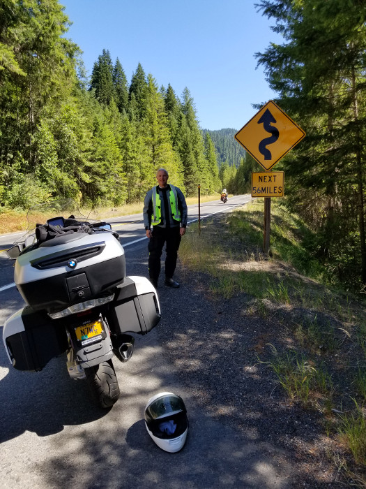
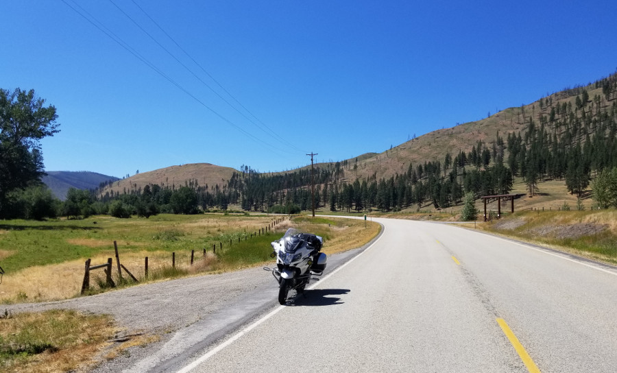
Early on the Highway 12 route there is a sign showing curves next 77 miles but there is not a good stopping place in front of that sign. This one did have a good pull out in front of it so I stopped there thinking it would make a good photo. I got my helmet off and turned around to find two motorcycles parked behind me and Rod and Debbie dismounting. A bit earlier I passed another motorcylist stopped along the road taking a picture and gave him a wave. It turns out that he snapped the photo of me as I rode by. Debbie took a photo of me standing in front of the sign. Thanks!
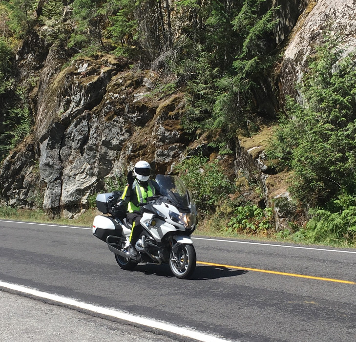
Here is the photo that Rod took a bit earlier. Rod works at Aerostitch so as you can guess he and his wife had some very nice riding suits. After we parted I realized that I failed to get a photo of them.
I stopped at Lochsa Lodge for lunch just about noon. I sat on the back deck and had their BLTA (bacon, lettuce, tomato, avacado) sandwich. Another rider came in and the two of us chatted about motorcycles for a bit. The lodge is a beautiful log building in a most amazing setting.
The state line is not too far past the lodge. The quality of the road does not change much but the speed limit does jump to 70 MPH. Despite the motorcycle advisory sign the road was fine an nothing really out of the ordinary.
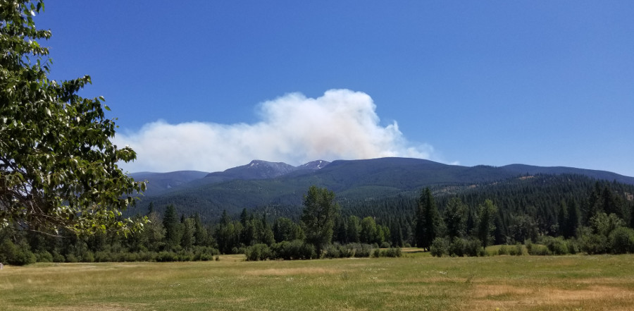
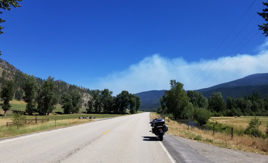
Highway 12 a bit east of the town of Lolo looking south. That is smoke over the hills not clouds.
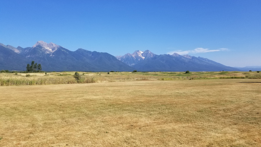
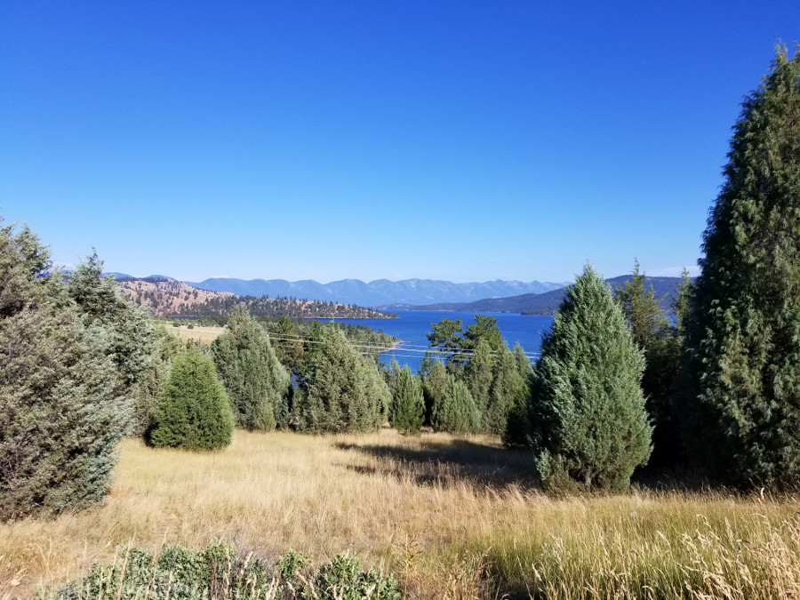
Highway 12 turns into 93 running north and south at the town of Lolo. I made a fuel stop in Lolo and headed north. I encountered some slow traffic in Missoula and then continued north. Highway 93 runs along the west side of Flathead Lake. This is the southern tip of the lake when it first came into view.
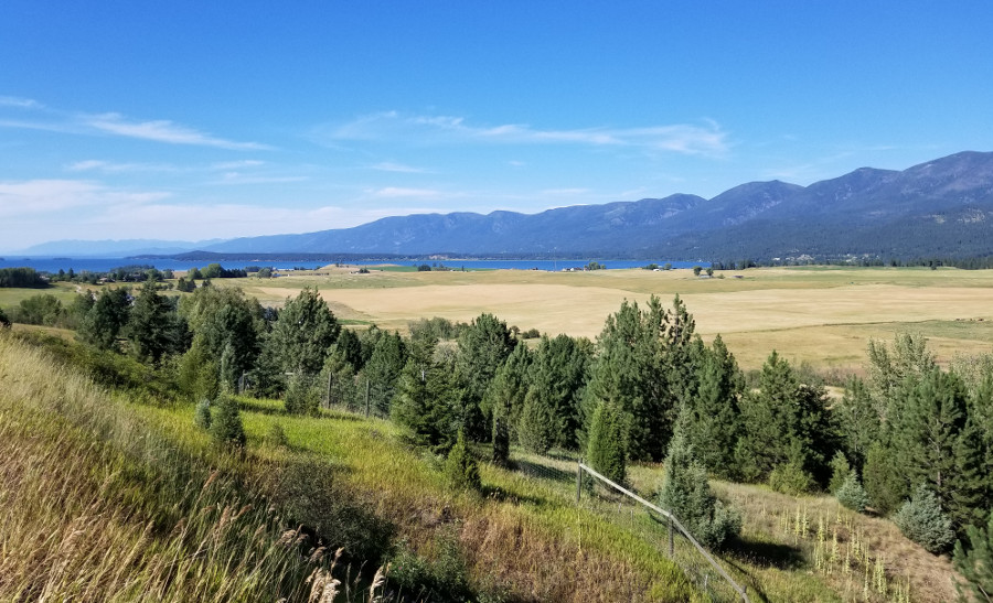
Flathead lake is 27 miles long and larger in surface area than Lake Tahoe, though not larger by volume. For the most part Highway 93 follows the western shore giving many pretty views as well as lots of speed reductions due to small areas of commerce.
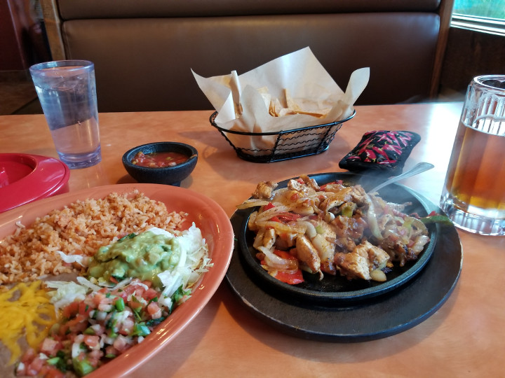
I arrived in Kalispell on Friday night. Fortunately I had called ahead and made reservations at the Econo Lodge. I found the first hotel that I called full and found out that in addition to the typical weekend crowds there was an equestrian event taking place so the town was quite full of people. I got fuel and then checked into the hotel. There is a Mexican Restaurant next door so I got dinner and a beer. Chicken fajitas again.