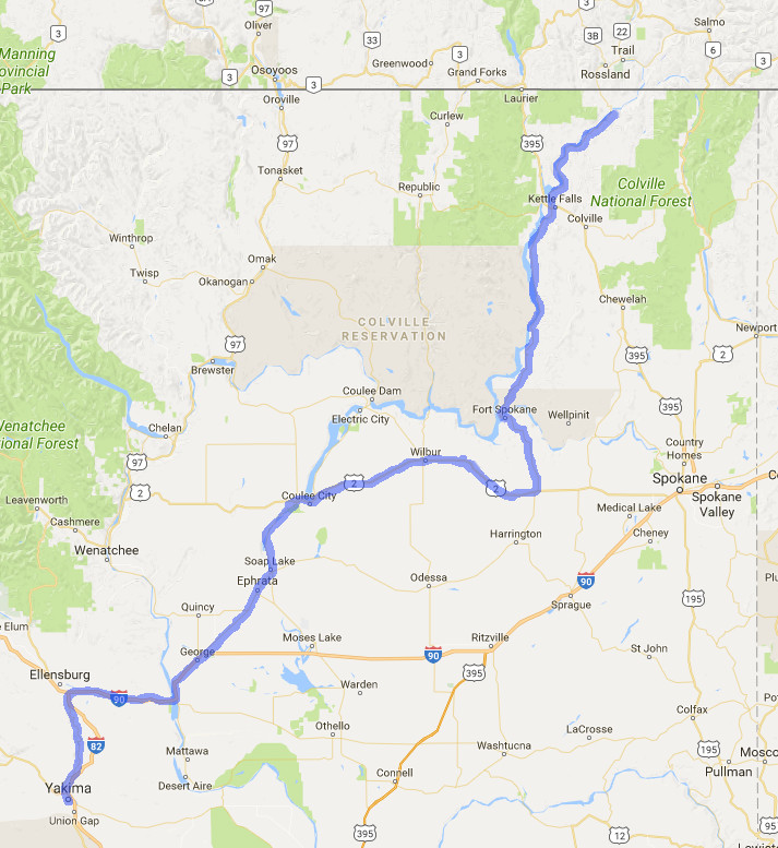
Day 6 - Northport, Washington to Yakima, Washington
July 24 - 300 miles
I woke up to a beautiful day with a clear sky. It was nice to have a bit of
cool morning as I knew this would soon turn into another very hot day. The
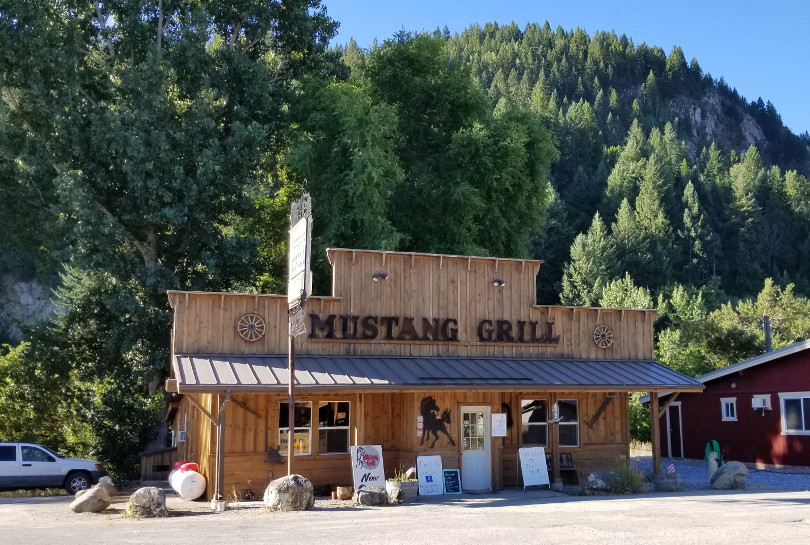
Mustang Grill was across the street but a slice of left over pizza was
instead breakfast and off I went heading south on 25 following the Columbia
River.
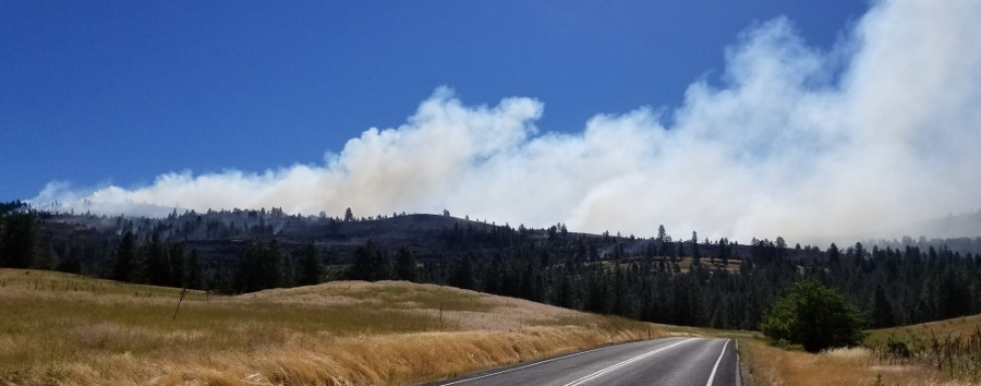
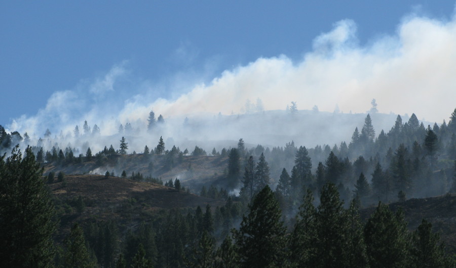
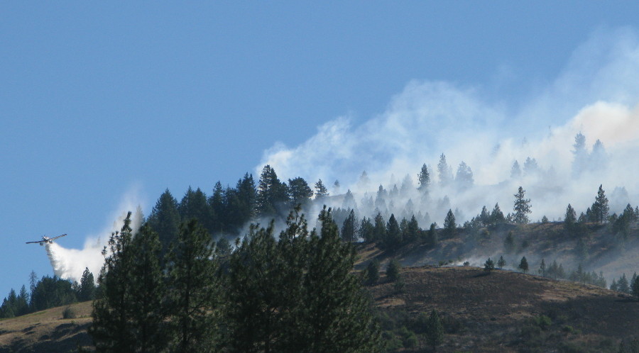
Between Kettle Falls and Fort Spokane I could smell smoke which eventually
came into view.
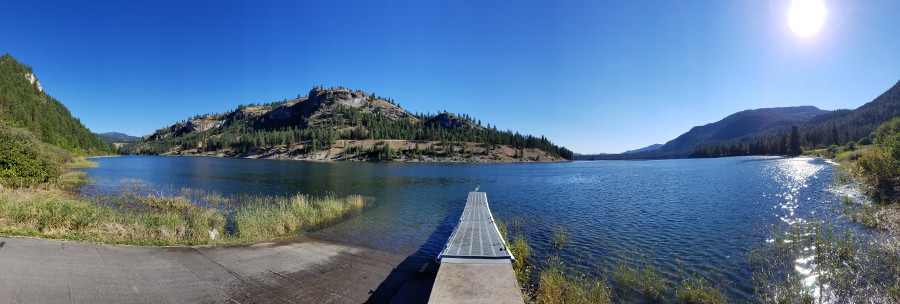
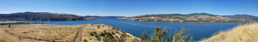
Fort Spokane. The intersection of the Columbia River (right) and the Spokane
River (left).
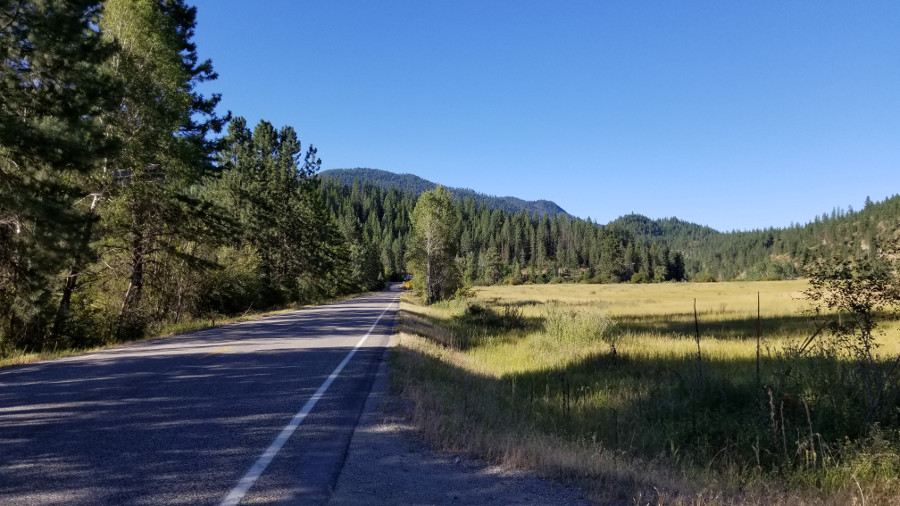
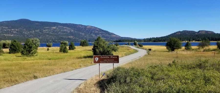
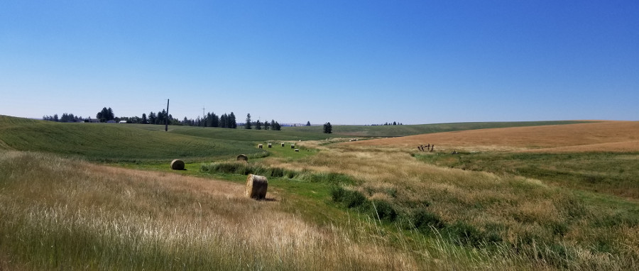
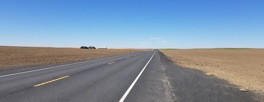
Highway 25 between Fort Spokane and Davenport, my next fuel stop.
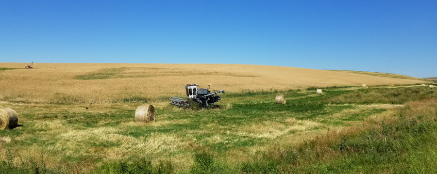
After fuel in Davenport I turned east on Highway 2. The ground became
noticeably more rocky and the day grew hotter.
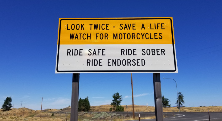
I stopped at a rest stop for water. Thanks Washington, I appreciate the
reminder for motorists.
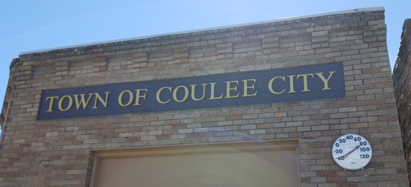
It was nearly 1 PM and I was really hot and in need of something to drink. I
saw the sign for Coulee City which is where I would turn south on Highway 17
for a bit. I diverted off the highway and into town in search of a cool
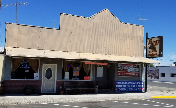
drink. I found three establishments.
The Last Stand Diner and Saloon - Closed.
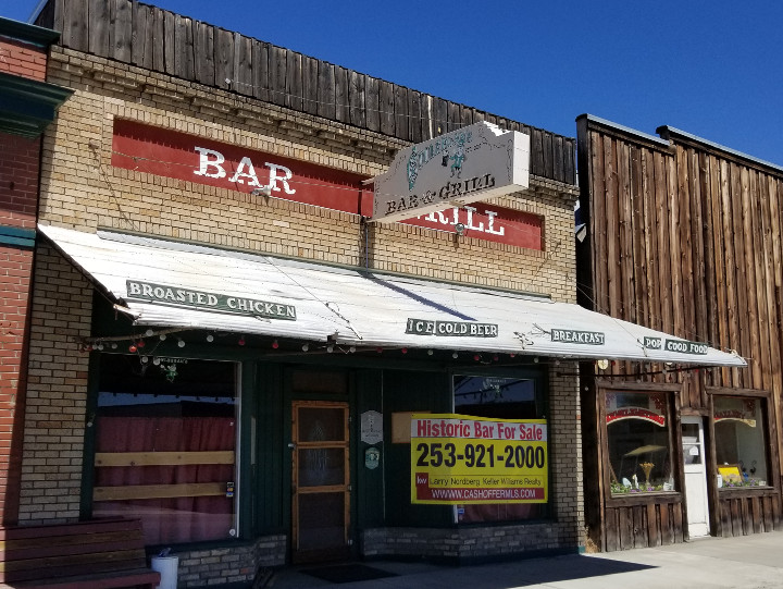
Couleegan's Bar & Grill - historic bar for sale.
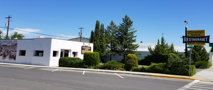
Steamboat Rock Resturant - for sale.
No drinks to be seen, only 80 degrees in the shade. I had some water but was
really wanting a soft drink of some sort and ideally a cool place to enjoy
it.
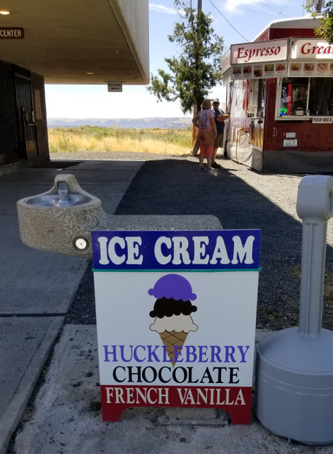
Down the road just a bit my luck changed as I found the Dry Falls visitor
center with some enterprising folks having an ice cream stand next to that.
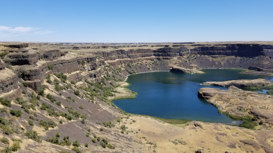
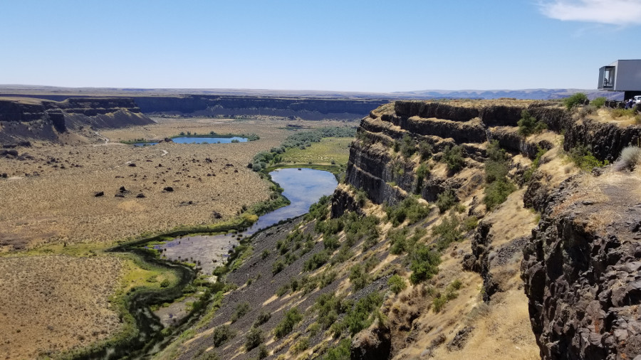
Two scoops of huckleberry ice cream and I was good to go again. Dry falls is
a three and a half mile waterfall - but without the water today. At one time
the largest waterfall on earth, with ten times the flow of all the current
rivers on earth. That was twenty thousand or so years ago. Today, no water.
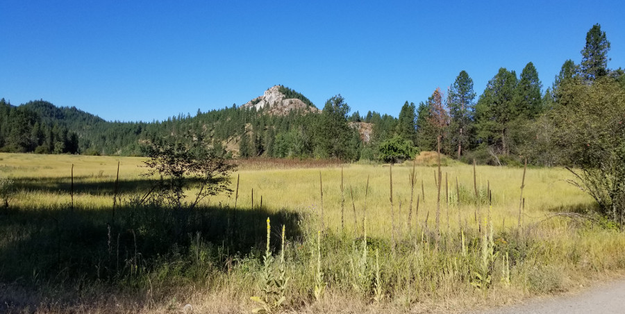
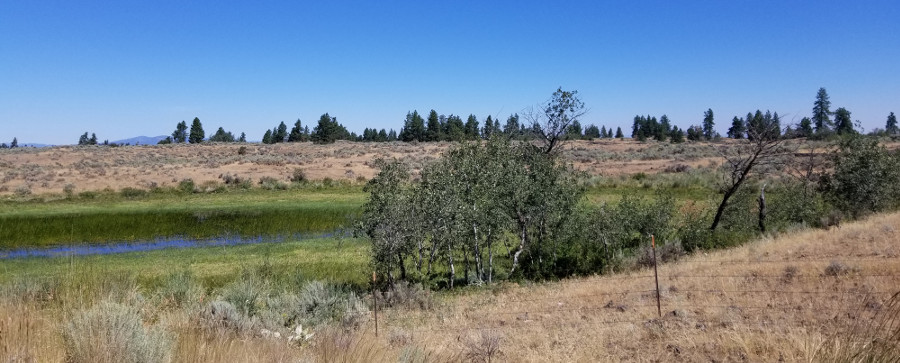
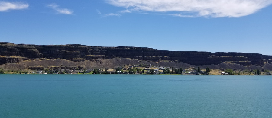
One of the lakes along highway 17 between Coulee City and Soap Lake.
I saw a lot of construction on this trip and a lot of signs warning
motorcyclist of hazardous conditions. I had no problems but appreciated the
warnings and that someone was thinking of what the road conditions would do
for bikers.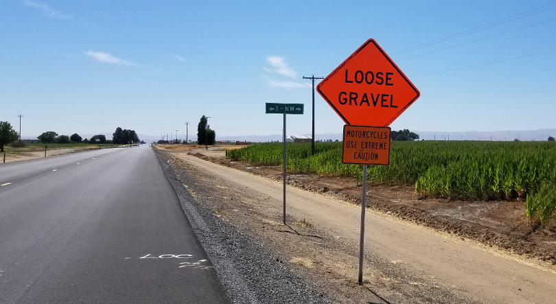
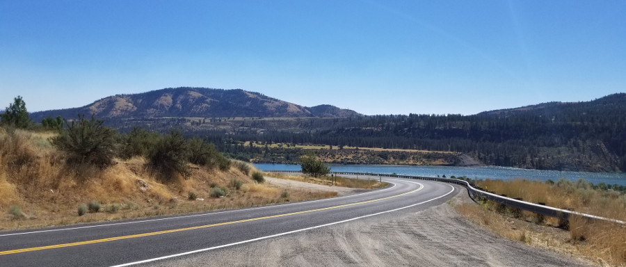
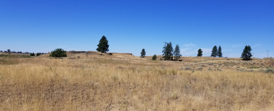
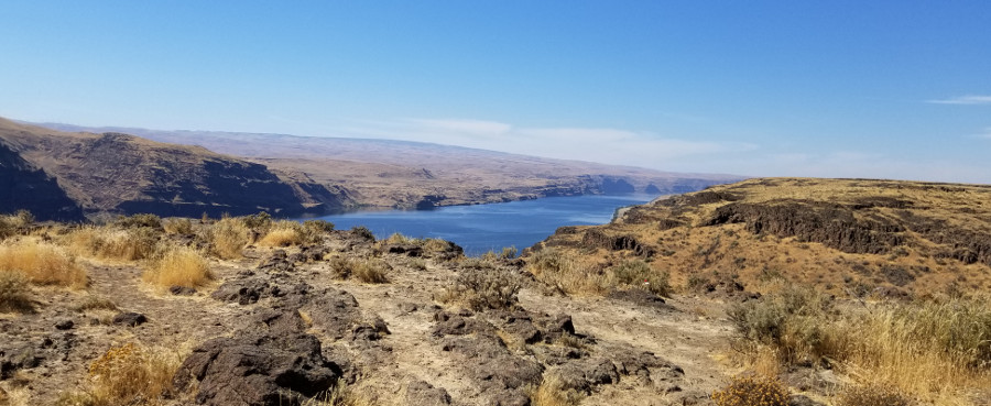
At Soap Lake I took 28 then 283 to the town of George, Washington. Then a
brief run on Interstate 90 to Ellensburg. A photo from a viewpoint on the
east side of the Columbia River.
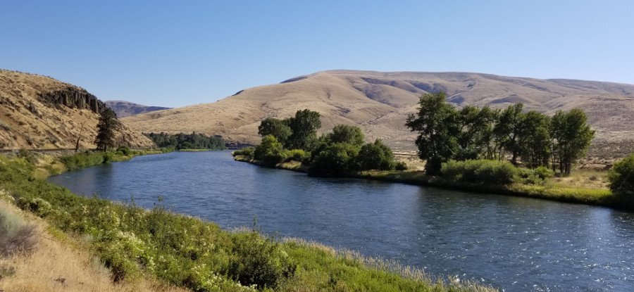
When planning this trip I noticed a very twisty road following the Yakima
River between Ellensburg and Pomona, just outside Yakima. This is Canyon
Road, also known as Highway 821. It was getting late and I did not know of
any places to stay on the next bit of the ride so spent the night in Yakima.
Link to next day, July 25.
Back to trip overview.